| Name | Rägavere quarry |
| Type | outcrop |
| Country | Estonia |
| Parish | RAKVERE |
| Coordinates | 59.3377, 26.394192 |
| Coordinate precision | 10-100 m |
| Coord. method | Est Land Board map server |
| Coord. agent | Aaloe, Aasa |
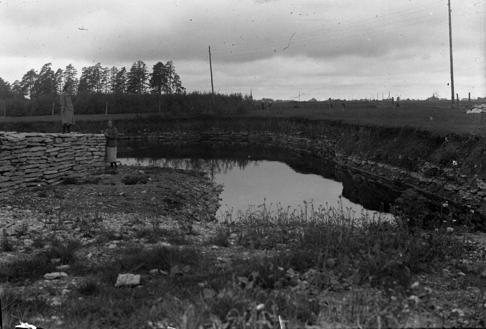
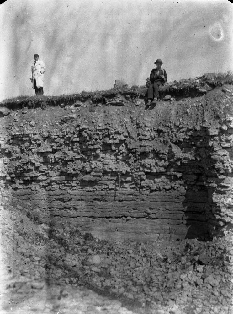
| Location remarks | Rakvere linna kagu/(lõuna-)serval 150 m Rakvere-Vetiku teest kirdes Paemurru tee ääres, teest ida pool talu taga. Rägavere kihistu (Rakvere lademe) holostratotüüp (Vinni alamladestik, Ordoviitsiumi ladestu). |
| Strat. top | Rakvere Stage |
| Strat. base | Rakvere Stage |
| Remarks | Vana stratotüüpne paemurd, siit sai Rakvere lade oma nime. Rägavere murd on enam-vähem Ussimäe paljandi profiili jätk ülesse. T. Meidla revisjon 2014:Rakvere lademe ja Rägavere kihistu stratotüüp; paljand mattub, tuleks puhastada |
| Date changed | 2023-04-20 |
Browse Geocollections
Partners