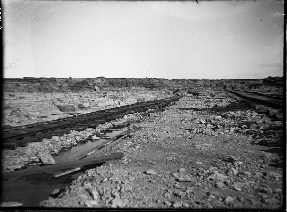
| Name | Ojaküla quarry |
| Type | surface mine |
| Country | Estonia |
| Parish | Viru-Nigula |
| Settlement | Ojaküla |
| Coordinates | 59.478447, 26.481289 |
| Coordinate precision | 100-1000 m |
| Coord. method | Est Land Board map server |
| Coord. agent | Aaloe, Aasa |
| Location remarks | Ca 4 km Kundast edelas, mnt-st lääne pool. |
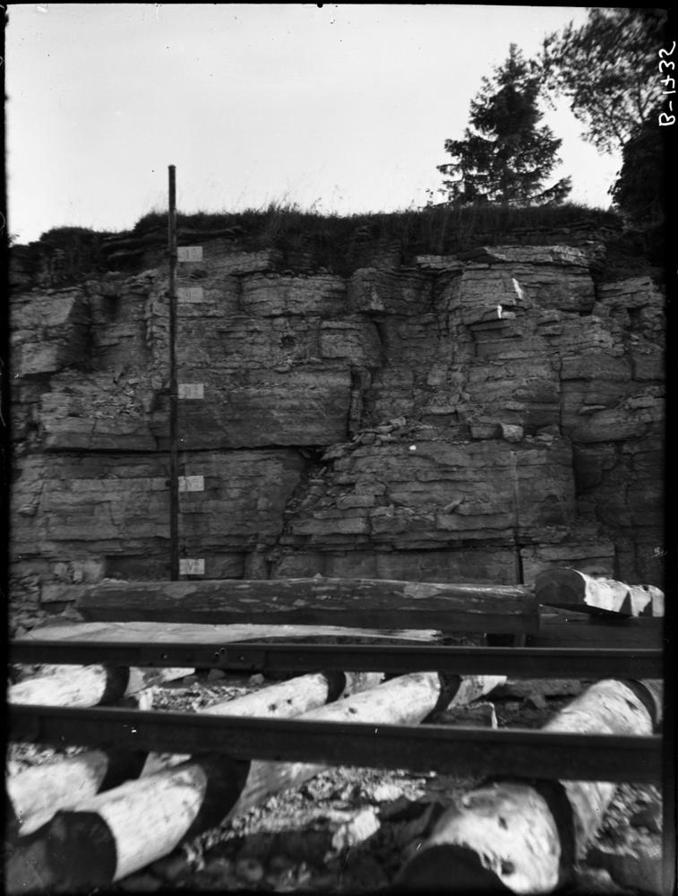
| Strat. top | Lasnamägi Stage |
| Strat. base | Kunda Stage |
| Remarks | Ojaküla paemurd - Ojaküla kihistiku (BIII-CIbK’O) holostratotüüp (Aseri kihistu, Aseri lade, Ordoviitsiumi ladestu); |
| Date added | 2008-11-18 |
| Date changed | 2023-07-07 |
Browse Geocollections
Partners